
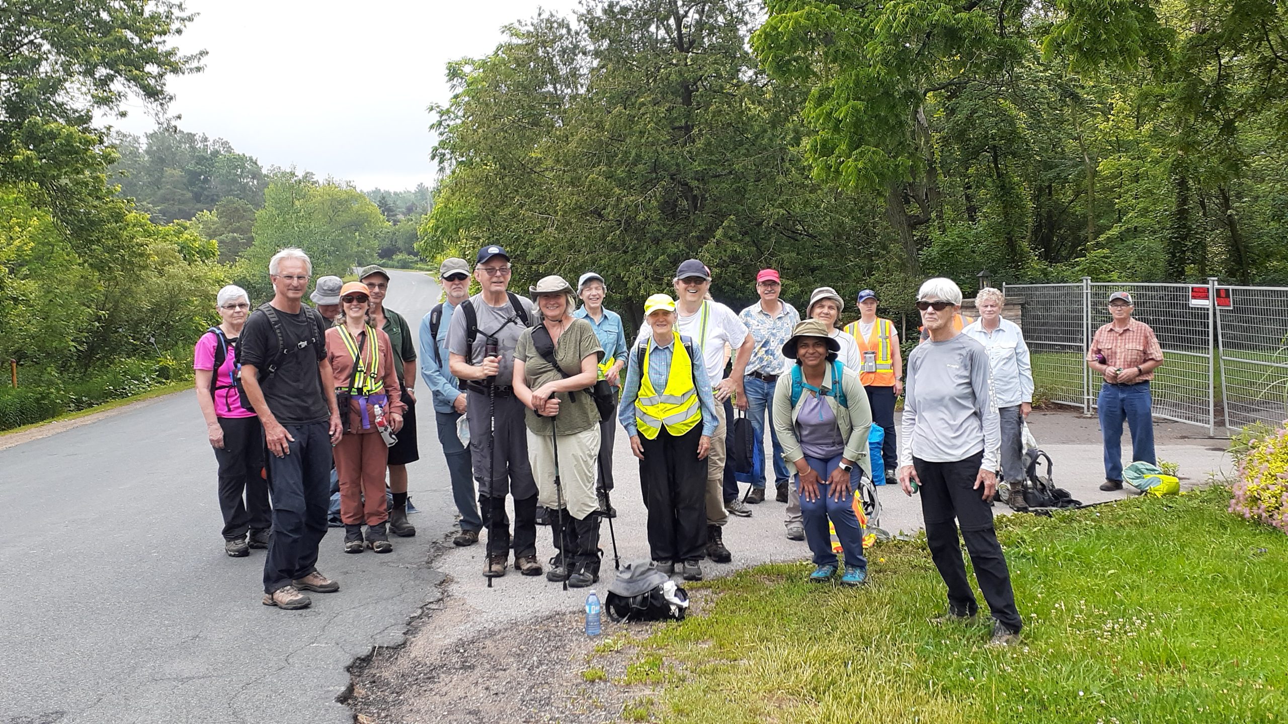
Rain threatened and then broke down upon us as we descended to the walking trail from Road 111 at km 51.2. Twenty-one hikers prepared to absorb the wetness and keep on smiling as we pressed forward on Saturday morning during the 5th leg of the End-to-End hikes led by Avon Trail hike leaders.
Many of the hikers on today’s hike have been on each of the previous four Saturday hikes. The entire trail stretches 130 kilometers from the western terminus in St. Marys to the eastern terminus on the outskirts of Conestogo Village. By hiking the entire trail, hikers earn the right to purchase the coveted newly designed End-to-End badge released this year.
To reach km 51.2, the group endured a 6.1 road section of the trail running east along line 33 to road 110 and then north to Highway 7 and 8. It certainly is not everyone’s favorite stretch of the trail. Still, while enjoying lively conversation with fellow hikers as we walked, this stretch was completed quickly.
We passed people playing with dogs on their front lawns. Others stood and watched as we proceeded along Forest Road in a single line formation watching for approaching cars. I overheard one man warning us that the hiking trails in the former Forest Motel property had closed.
Once at Severn Bridge on Road 111, we descended off road and continued the remainder of our 11.8 kilometre hike on the trail as it winds east adjacent to the Avon River. Along the edge of farm fields, we hiked through the grass and mud carefully avoiding the newly planted crops. Eventually we reached Road 110. Here the group paused for a much-deserved break. Meanwhile, the rain tapered off and the sun provided warmth.

As a group, we helped one another over stiles, up and down embankments, ensuring no one was left to struggle. The Avon River guided us as we hiked east from Road 110 to Road 109. Mosquitos were encountered but not in swarms as we had anticipated. The trail turned north from the river, running along a fence marking a gravel pit to the east. We approached a bower, known as “Lovers Lane”. The bower provided a cool relief from the heat. Once through the lane, we reached our end point at the Lynn River Farm Market.
All hikers carpooled to the start point of the morning’s hike on Line 33. The drivers carpooled back to the start point to retrieve their cars while we hikers awaited their return.
Today’s hike leader, Geoff Williams, asked us as a group if, knowing before we set out today the conditions would be as wet as encountered, would we have voted to continue? Without a moment’s hesitation the hikers said “Yes”. At the end of the day, we had a rainbow. Now we can prepare for the 6th End to End installment scheduled for August 26.
Click Here for a full list of the future hikes.
For more hike photos I have two contributors. Click Here to view more photos from this hike taken by Galina. Donna’s photos are in the Photo Gallery.
Photos – Donna Weitzel and Galina
Tom Kimber – News